
| Evidence | What it supports | Planning use |
|---|---|---|
| Etruscan, Celtic and Roman cultural phases at a Po Plain city | Felsina/Bononia is a layered site, not a single-period town | Read every plan or reconstruction by period and avoid merging phases into one picture. |
| Iron Age Villanovan evidence in Bononia and its vicinity | Early occupation evidence spreads beyond a single findspot | Look at the wider area when asking where settlement began. |
| Latin colony of ca. 3000 settlers at Bononia in 189 BC | A Roman foundation follows the Etruscan and Celtic phases | Keep Roman street and building evidence apart from Etruscan evidence unless a report dates them together. |
| Site coordinates 44.494574, 11.345547 | A representative point, not a boundary | Use the point to locate the city, never to measure its size or edges. |
| Later growth into an important medieval centre | The same ground stayed a city for centuries | Expect the Etruscan plan to be pieced together from limited exposures rather than seen whole. |
The phases and coordinates above follow the Catholon profile of Felsina/Bononia.
The felsina city plan is known only in part: the Etruscan city of the Po Plain shares its ground with later Roman and medieval Bologna, so streets, houses and the acropolis need cautious reading.
For the wider story of the people behind the city, start with etruschi a bologna storia, and place the physical remains against the etruscan bologna timeline.
What Felsina looked like
Felsina was a city of the Po Plain with Etruscan, Celtic and Roman cultural phases, according to Catholon’s site profile. That is a flat-land setting, and it matters for any mental picture. A settlement on open plain is a different visual proposition from the hilltop towns usually associated with Italian antiquity.
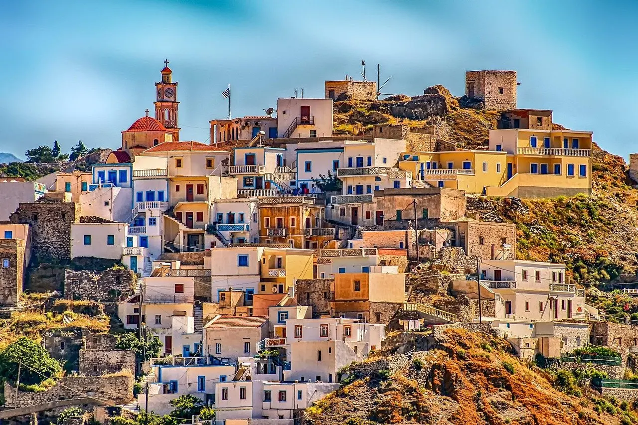
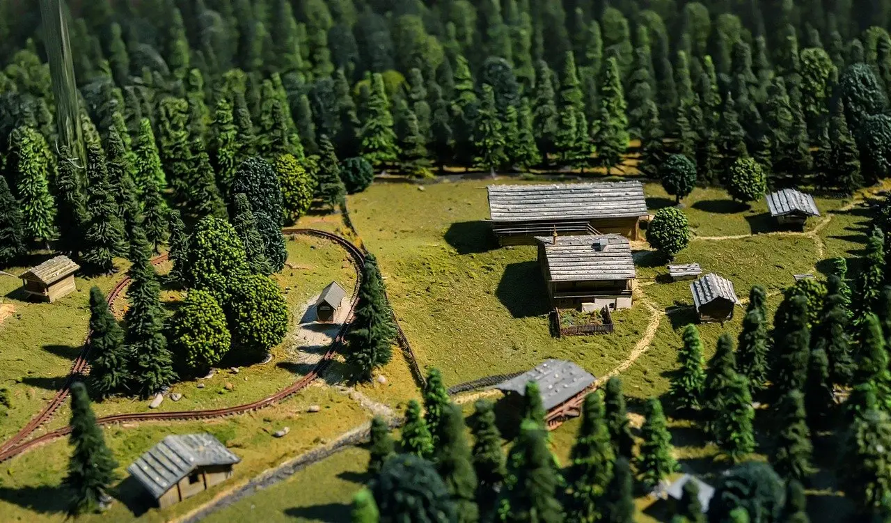
Beyond that setting, a confident description of buildings, street widths or defences would go further than the verified evidence. The practical decision for a reader is to separate three kinds of statement: what excavation has exposed, what is inferred from nearby sites, and what is artistic reconstruction. Museum models and drawings are useful for visualising scale and zones, but they combine all three kinds, so they should be read as interpretations.
How much of the city plan is actually known
Much less than the confident reconstructions suggest. The coordinates attached to Felsina are a representative point and, in the source’s own wording, do not by themselves assert an ancient administrative boundary or the full extent of the settlement. The same profile makes no claim about jurisdiction, population or ecclesiastical rank.
This has direct consequences for anyone reading or writing about the city:
- Do not quote a city size. Without an established boundary, any area figure is an estimate by whoever drew the outline.
- Do not quote a population. No population figure is attached to the Felsina record, so treat any number you meet as needing its own evidence.
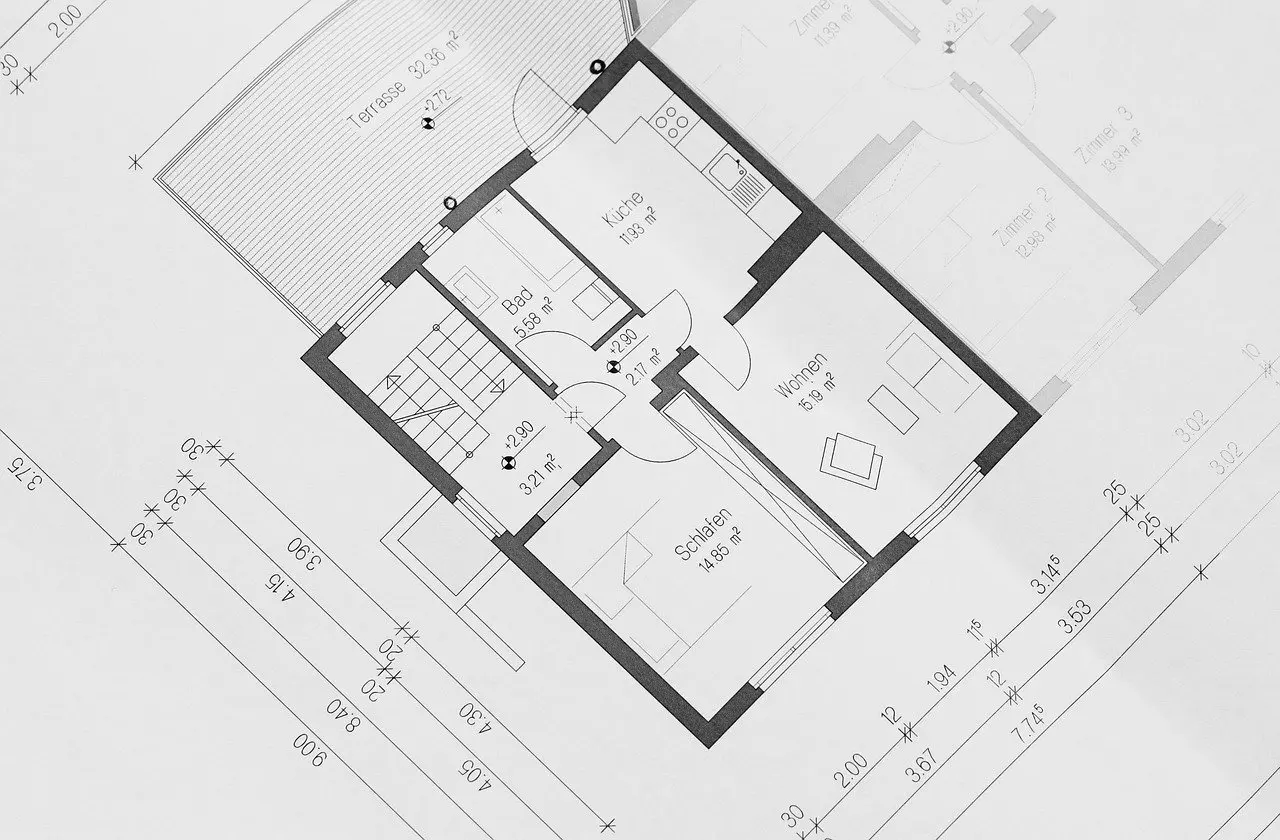
- Treat maps as hypotheses. A line showing the edge of Etruscan Bologna is an interpretation of scattered finds unless an excavation report documents it.
Layers beneath modern Bologna
The site’s phases explain why the plan is hard to recover. Important Iron Age Villanovan evidence has been found in Bononia and its vicinity, the Etruscan and Celtic phases followed, and the Romans established a Latin colony of ca. 3000 settlers at Bononia in 189 BC, as the Catholon record notes. After the fall of the Western Roman Empire the city changed hands several times and became an important medieval centre.
That long run of continuous urban life is the main reason the physical form of Felsina is hard to see. Each later phase shares the same ground as the earlier ones. Where an excavation reaches Etruscan levels, it usually does so in a limited area, and the results then have to be joined to other limited areas.
Choosing how to use period labels
- Match the label to the layer. A street, wall or house described as Etruscan should come with a stated date or stratigraphic position, especially in a city that later had a Roman colony.
- Be wary of single-plan drawings. A drawing that shows Etruscan, Celtic and Roman elements together may be useful as a summary but does not show a city as it looked at one moment.
- Check the vicinity. Because Villanovan evidence comes from Bononia and its vicinity, settlement and burial evidence in the surrounding area may belong to the same story as finds inside the modern centre.
Street layout and the Marzabotto comparison
Whether Felsina followed a regular grid is a question of evidence, not assumption. A planned Etruscan street grid is the standard point of comparison, and Marzabotto is the site most often used for it. The evidence needed for Felsina is excavated street surfaces, drains or alignments that can be tied together and dated. A grid drawn across a modern map of Bologna is not evidence of an ancient one.
The detailed side-by-side assessment sits in marzabotto vs felsina. For this page, the practical rule is simple. Use Marzabotto to understand what a planned grid looks like, then ask separately what has actually been exposed at Bologna.
Houses and domestic remains
Descriptions of Felsina houses are only as strong as the excavated foundations behind them. A house plan becomes reliable when a report records walls, floor levels and associated finds in place and dates them to an Etruscan phase. Where those details are missing, a reconstructed dwelling is a design by analogy.

When weighing a claim about domestic architecture, three questions help. Was the structure excavated or only inferred? Is its phase stated, given the Celtic and Roman layers on the same ground? Does the author separate the structure from the surrounding street or boundary, which are not established for the city as a whole?
The acropolis question
An acropolis for Felsina is an interpretation to test, not a settled feature. Felsina lay on the Po Plain, so a high citadel cannot simply be assumed from the hilltop towns familiar elsewhere. A proposed acropolis location needs an excavated structure, a dated context and a clear argument for why that spot was set apart.
For readers, the sensible position is to note who proposes a location and on what basis. If a source offers no excavated structure and no dated context, treat the acropolis as a hypothesis and keep it out of any firm description of the city.
Settlement, burial areas and the locator point
The site coordinates, 44.494574, 11.345547, are a representative point for the city. They are useful for finding Felsina on a map and are explicitly not a boundary, according to the Catholon profile. Because Iron Age Villanovan evidence is reported from Bononia and its vicinity, the locator point should not be read as a line separating living areas from burial areas.
When a map or article shows a settlement zone and necropoleis, check whether each zone is drawn from excavated findspots or from a general scheme. Keep the settlement and the cemeteries as separate questions, because finds from one do not automatically define the extent of the other.
Survey methods under a built-up city
Modern Bologna sits over the Etruscan city, so non-excavation survey is a natural tool to consider. Ground-penetrating radar emits electromagnetic waves into the ground and analyses the return patterns, as described in a report on a medieval city in Norway. That case shows the technique used for a buried town elsewhere; it is context for method, not a result for Felsina.
The decision for readers is how much weight a survey result deserves. A radar image suggests where buried features lie, and it gains force when excavation or dated finds confirm them.
Reading claims about Felsina
- Prefer excavation reports and museum records. They state what was exposed, where and in which phase.
- Treat reconstructions as interpretations. Drawings, models and illustrations are aids to visualisation, not proof of street widths or building heights.
- Distrust unqualified numbers. Size, population and boundary figures need their own evidence, and the locator point supports none of them.
- Keep phases apart. Etruscan, Celtic and Roman material share the same ground, so every feature needs a date.
Frequently asked questions
Can the Felsina coordinates be used to outline the city?
No. The coordinates are a representative point, and they do not assert an ancient boundary or the full extent of the settlement.
Is the Felsina acropolis confirmed?
Treat any proposed acropolis as an interpretation unless a published excavation links it to a dated structure at a specific location.
Did Felsina have a Roman phase?
Yes. The Romans established a Latin colony of ca. 3000 settlers at Bononia in 189 BC, after the Etruscan and Celtic phases.
Why is the city plan hard to reconstruct?
The Etruscan city and later Roman and medieval Bologna share the same ground, so the earlier plan has to be pieced together from limited exposures and dated carefully.